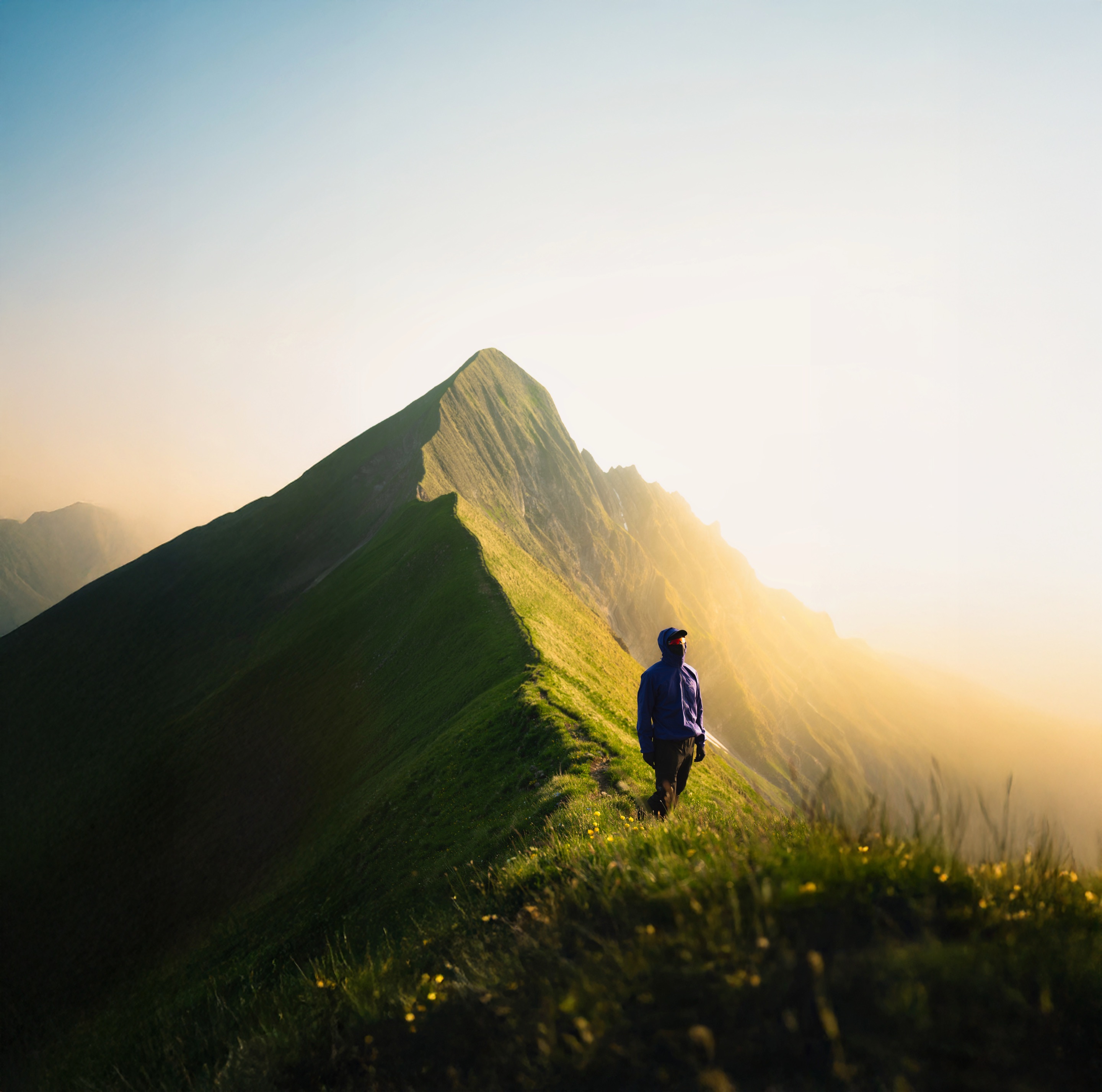
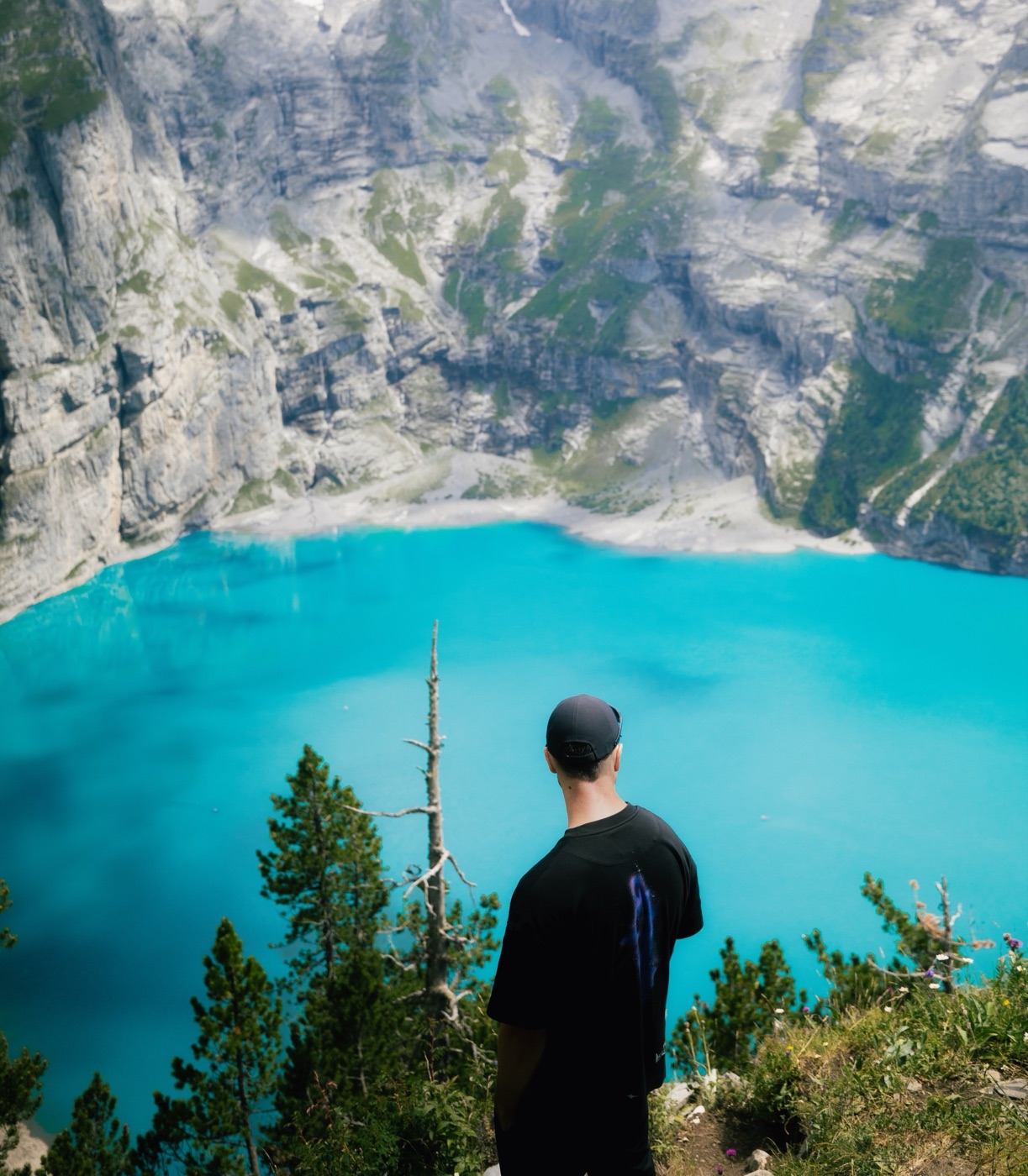
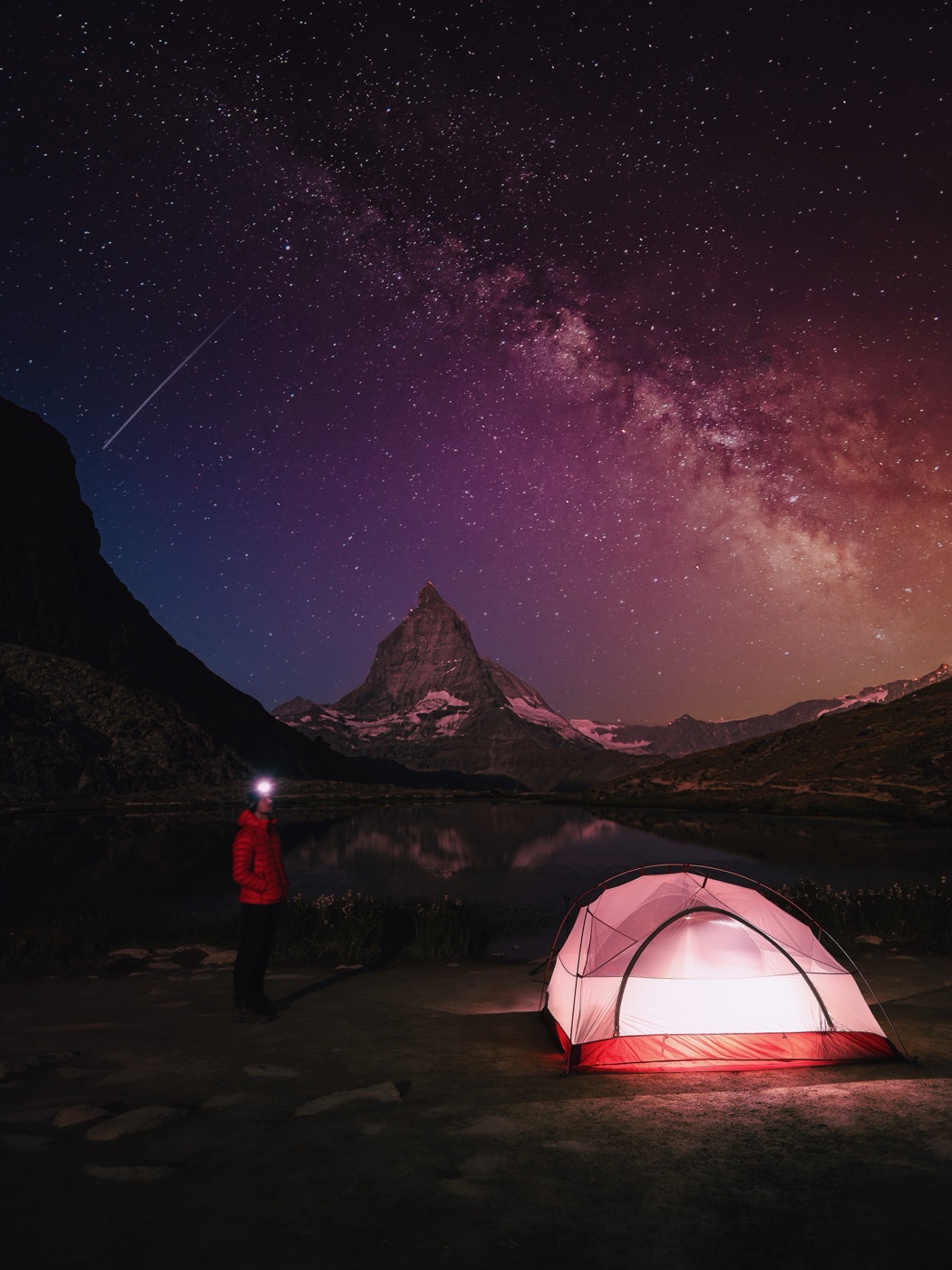
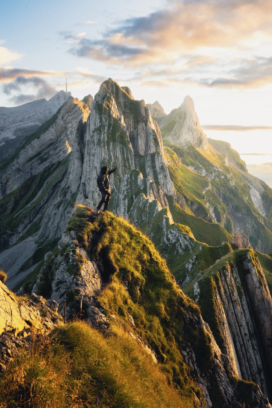
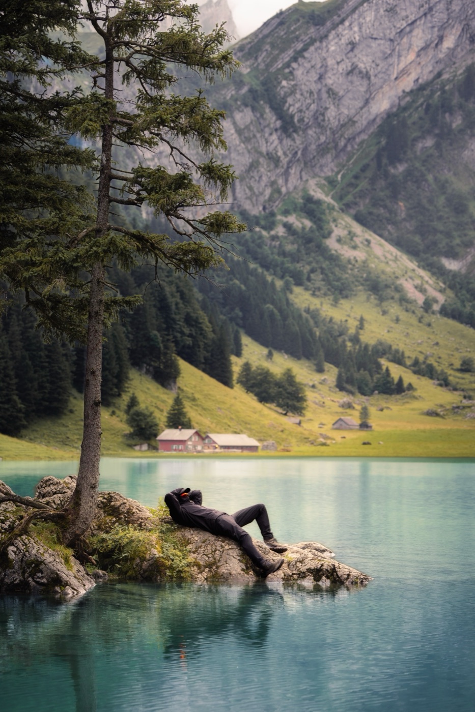
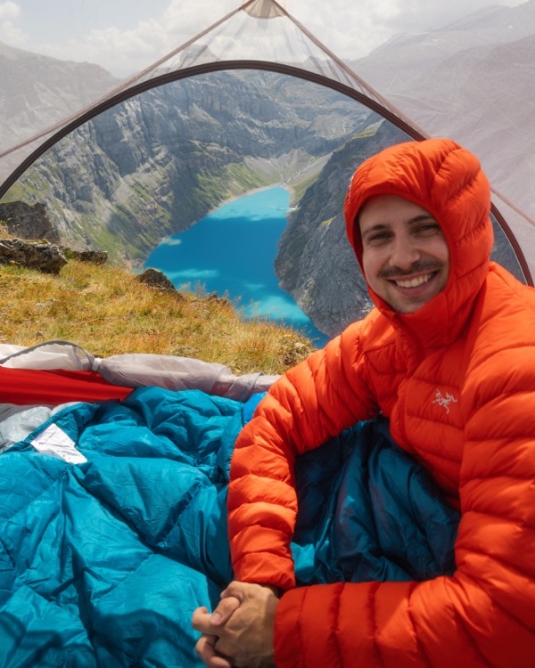
Swiss Gems · A guide by Leon Helg

141 hidden spots in the Swiss Alps.

GPS, routes, recommended light, wildcamping legality. PDF plus interactive map.

141verified spots
450+ ★★★★★verified buyers · 5.0 average
5 yearsof solo scouting
PDF + Web appphone and laptop
A few you may already know

The famous gems. Six of the 141 you have probably seen.

These six are not the hidden ones. They are the postcards. The other 135 are deeper in, off the main routes, and only inside the guide.

Oeschinensee, a turquoise alpine lake above Kandersteg in the Bernese Oberland.
Bernese Oberland · Lake

Oeschinensee

The turquoise above Kandersteg. Walk past the platform and it gets quiet fast.

Riffelsee with the Matterhorn under the night sky.
Valais · Lake

Riffelsee

The Matterhorn, doubled. Be in position before sunrise. Five minutes of red on the tip.

Schäfler ridge above Ebenalp in Appenzell at golden hour with valleys in the haze.
Alpstein, Appenzell · Ridge

Schäfler

Two hours from Ebenalp to a ridge with a chalet. Book ahead, stay the night.

Seealpsee, a glassy alpine lake below Säntis with green meadows around the shore.
Alpstein, Appenzell · Lake

Seealpsee

Glassy water below Säntis. Rent a boat for five francs and shoot from the middle.

Saxer Lücke, a dramatic notch between two peaks in the Alpstein with light coming through.
Alpstein · Pass

Saxer Lücke

A notch between two peaks. Sunset comes through the gap and lights everything.

Fälensee, a narrow lake wedged between steep walls below Saxer Lücke.
Alpstein · Lake

Fälensee

Saxer Lücke gets the crowd. Drop below it and find a ribbon of water with nobody around.

135 more spots are off the main routes and only inside the guide.  See what's in the guide ›

What people come here for

Four answers worth getting right.

Hikebeast is built around four topics. Each one is what someone Googles before a trip. Here is what the guide covers, in one click each.

Leon Helg, founder of Hikebeast, camping in the Swiss Alps.
The person behind it

I'm Leon. I have spent five years finding spots in the Swiss Alps that don't show up on the tourist map.

Some are famous, like the six above. Most are not. If a spot is in the guide, I have been there. I know where to park, when the light is right, and whether you can sleep there for one night without a problem.

I publish on Instagram and TikTok as @leon.helg. The guide is the long-form version of what I share there, with everything I would tell a friend if they were coming to visit.

Questions

Common questions, direct answers.

What's in the guide?
141 spots in the Swiss Alps, organised by region. For each spot:
  • Exact GPS for the spot and the parking
  • Walking time, difficulty, route notes
  • Best time of day and best season for photography
  • Wildcamping legal status with reference
  • Photos from the spot at the right light
Delivered as a PDF plus an interactive web app you can use on phone or laptop.
Is wildcamping legal in Switzerland?
There is no uniform federal law. The Swiss Alpine Club considers a single-night bivouac above the treeline unproblematic when no conflicting regulations apply and the camp is considerate of the environment1. SAC further recommends keeping at least 50 metres from water sources for sanitation. On private land, landowner consent is generally required under Swiss civil law. Wildcamping is forbidden in the Swiss National Park2, in the 43 federal hunting reserves (Eidgenössische Jagdbanngebiete)3, in Wildruhezonen during the protected season, and in cantonal nature reserves. These protected areas can apply at any altitude. Below the treeline, wildcamping is typically further restricted by cantonal and municipal rules. The Swiss Gems guide marks each of the 141 spots with current legal status. Always verify the spot-specific status before you camp.
How are the spots picked?
Five years of solo scouting. A spot makes it into the guide when three things are true: I have been there in person, the photo is worth the walk, and the route is realistic for someone with normal fitness. Most are 30 to 90 minutes from a parking. About a third are wildcamping-compatible. The six famous ones above are in there for completeness, the other 135 are the reason people buy the guide.
How long does the walk take to reach a typical spot?
Most spots are under 90 minutes one way from a parking. About 20 are drive-up viewpoints with no hiking required. A handful are full-day or multi-day routes. Each spot lists walking time, elevation gain and difficulty so you can pick what fits the day.
What's the best month to hike the Swiss Alps?
The Swiss Alps hiking season runs from early June to mid-October. Lower valleys, lakes, and waterfalls peak in early June with the snowmelt. Most SAC mountain huts open in mid-June and stay staffed until mid-October4. High-alpine routes above roughly 2,400 metres are typically snow-free from mid-July. Autumn larch colour in the Engadin and Val Bregaglia runs from late September to mid-October, with peak intensity in the second and third week of October5. The guide lists the best window per spot.
Who is Leon Helg?
Swiss outdoor photographer and filmmaker. Has lived in Switzerland for 26 years, the last five spent mapping Alps spots that don't make tourist maps. Publishes on Instagram and TikTok as @leon.helg. Hikebeast operates under Saftladen GmbH, Rotkreuz, Switzerland.
What does it cost?
One-time payment of CHF 27. No subscription, no upsells.

Get the Swiss Gems guide

141 spots, GPS, photo timing, wildcamping legality. One-time CHF 27.

Get the guide · CHF 27

Sources

  1. Swiss Alpine Club, "Camping and bivouacking in the Alps". sac-cas.ch.
  2. Swiss National Park, 170.3 km² in canton Graubünden. nationalpark.ch.
  3. Federal Office for the Environment (BAFU), 43 federal hunting reserves (Eidgenössische Jagdbanngebiete). bafu.admin.ch.
  4. Swiss Alpine Club, hut directory and opening schedule. sac-cas.ch.
  5. Graubünden Tourism, Larch Tracker. graubuenden.ch.