The best Swiss guides in 2026, compared
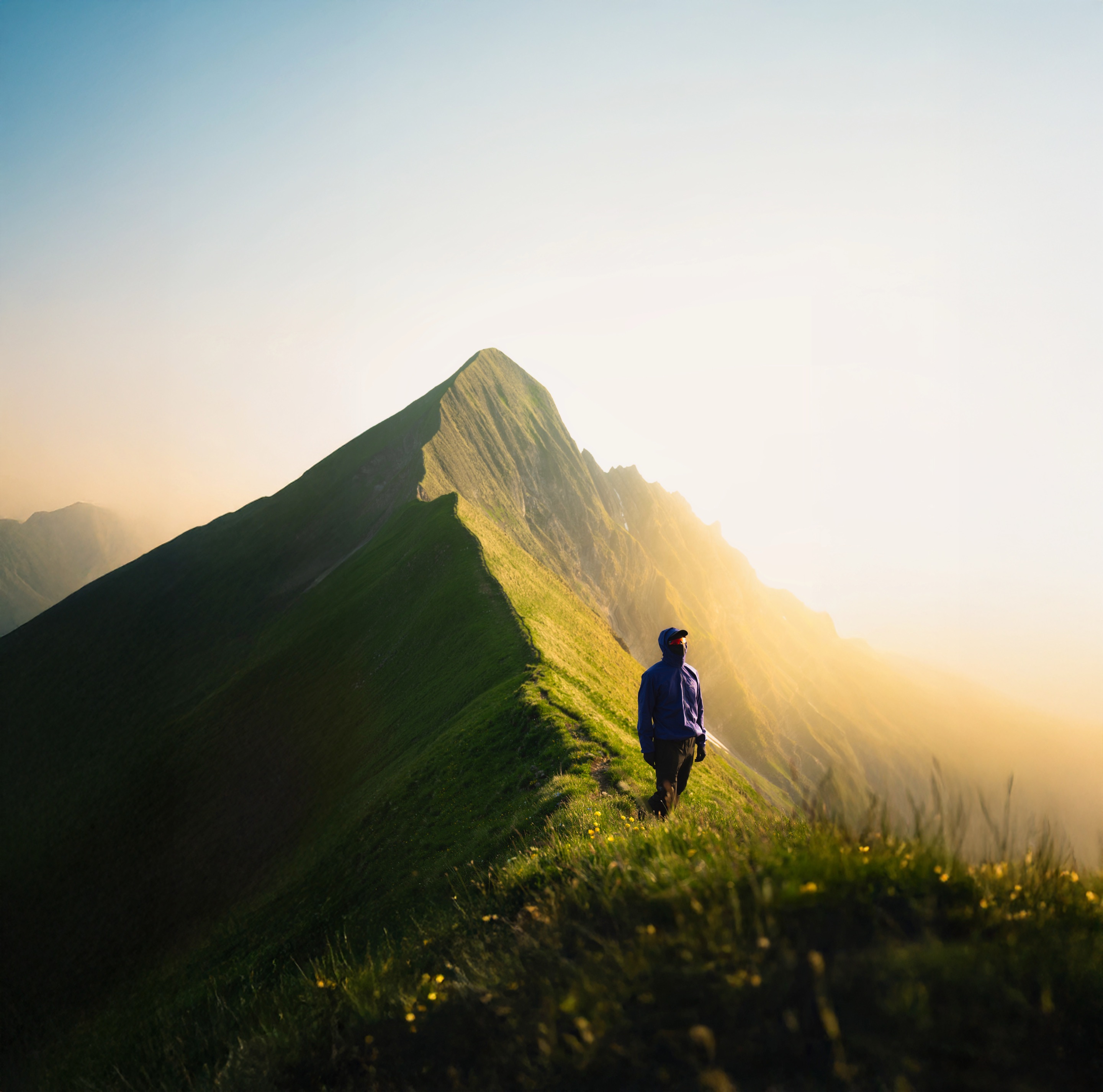
Seven Swiss guides put side by side, by what each one is actually good at. If you want to find hidden, photogenic spots and know where you can legally sleep outside, Hikebeast Swiss Gems is the best pick. Here is the full comparison, and where each alternative beats it.
Gems of Switzerland
GPS, best light and a wild camping status per spot. One-off CHF 27, free updates, 600+ buyers.
Search "Swiss guide" and you get everything from the national tourism board to hiking apps to printed travel books. They are not really competitors, because they answer different questions. The honest way to choose is to start from what you actually want to do, then pick the guide built for it.
This list ranks seven of them for one specific job: finding good places that are not already overrun, with enough detail to actually get there, shoot them well, and know whether you can stay the night. That is the job Hikebeast was built for, so it comes first. Below every entry you will find what it does better than Swiss Gems, so you can judge for yourself.
Full disclosure: this comparison is published by Hikebeast. I make the Swiss Gems guide. I have tried to be fair about where the free and bigger options win, because for a lot of people one of them is the right answer.
How I compared them
Six things matter for this kind of trip, so each guide is judged on the same six:
- Hidden spots. Does it surface places beyond the postcards, or only the famous ones?
- GPS per spot. Exact coordinates for the spot and the parking, not just a region.
- Photo timing. Best light and best season for the shot, not only that the place exists.
- Wild camping status. A per-spot read on whether sleeping outside is allowed, with sources.
- Offline. Works on the mountain with no signal.
- Price. Free, subscription, or one-off.
| Guide | Hidden spots | GPS per spot | Photo timing | Wild camping status | Offline | Price |
|---|---|---|---|---|---|---|
| Hikebeast Swiss Gems | Yes | Yes | Yes | Yes | Yes | CHF 27 once |
| SwitzerlandMobility | No | Routes | No | No | Paid tier | Free / Plus |
| Komoot | Some | Routes | No | No | Paid tier | Free / paid |
| AllTrails | Some | Routes | No | No | Paid tier | Free / Plus |
| MySwitzerland.com | No | No | No | No | No | Free |
| Lonely Planet Switzerland | Some | No | No | No | Print / eBook | Paid book |
| Blogs & Instagram | Some | No | Maybe | No | No | Free |
Yes = built in. Routes = route-level GPS, not per spot. Some = a handful, not the focus. Status as of June 2026, based on each platform's public product.
Gems of Switzerland
GPS, best light and a wild camping status per spot. One-off CHF 27, free updates, 600+ buyers.
The ranking
Hikebeast Swiss Gems
141 hand-picked spots across Switzerland, each with exact GPS for the spot and the parking, the best time of day and season to shoot it, the access (drive-up or hike, with walking time), and a wild camping status with the cantonal and federal rules behind it. It comes as a downloadable PDF plus an interactive web map you can use on your phone, for a one-off CHF 27 with free updates. It is made and field-verified by one person, a Swiss photographer, not crowd-sourced, so the bar for a spot is "worth the walk", not "popular".
SwitzerlandMobility
The national platform for Switzerland's signposted hiking, cycling and skating routes, with the official route network, stage descriptions and GPS tracks. The free tier is excellent for following a marked national or regional route; the paid Plus tier adds offline maps and custom routing.
Komoot
A route planner and navigation app with a large community of user-made tours, highlights and photos. Strong for building a route, getting turn-by-turn voice navigation, and seeing what other people did nearby.
AllTrails
A huge database of trails with recent user reviews, conditions and photos, worldwide. Useful for checking whether a trail is in shape and reading honest recent reports before you go.
MySwitzerland.com
The national tourism board's site. The authoritative, free source for towns, regions, events, transport and accommodation, with polished inspiration for the headline destinations.
Lonely Planet Switzerland
The classic printed (and eBook) travel guide. Strong narrative, history and broad itineraries for a first trip, the kind of context an app does not give you.
Local blogs and Instagram geotags
Endless free ideas, and often where a spot first goes viral. Good for a shortlist of what looks good right now.
Which Swiss guide should you pick?
Pick by what you are trying to do. Most serious trips end up using two: a free routing or planning tool, plus a curated guide for the spots worth the detour.
Hidden, photogenic spots and where you can sleep outside
Hikebeast Swiss Gems. GPS, best light and a wild camping status for 141 spots, one-off CHF 27.
Navigating official marked trails
SwitzerlandMobility for the national route network, free, with a paid tier for offline maps.
Towns, transport, events and accommodation
MySwitzerland.com, the official tourism board, free.
A cultural companion for a first trip
Lonely Planet Switzerland, in print or eBook.
Swiss Gems is the guide I make: 141 spots across Switzerland, each with its GPS pin, access notes, best light and a wild camping status, as a PDF plus an interactive map. If that is the job you are choosing a guide for, it is the one built for it.
Gems of Switzerland
GPS, best light and a wild camping status per spot. One-off CHF 27, free updates, 600+ buyers.
Frequently asked questions
What is the best guide for hidden spots in Switzerland?
Is there a free Swiss hiking guide?
What is the best guide for wild camping in Switzerland?
Which Swiss guide is best for photographers?
How much does the Hikebeast Swiss Gems guide cost?
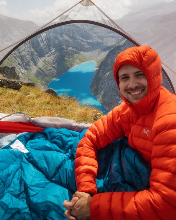
Leon Helg
Swiss filmmaker and software developer. 26 years in Switzerland, spends his free time exploring the Swiss Alps and maps his favourite spots for Hikebeast. Posts as @leon.helg on Instagram and TikTok.
Sources
- Hikebeast Swiss Gems, 141 spots with GPS, best light and wild camping status, CHF 27. hikebeast.ch. ↩
- SwitzerlandMobility, the national network for hiking, cycling and other non-motorised routes. schweizmobil.ch. ↩
- MySwitzerland.com, the official site of Switzerland Tourism. myswitzerland.com. ↩
- Komoot, route planner and navigation app. komoot.com. ↩
- AllTrails, trail database with user reviews and conditions. alltrails.com. ↩
- Lonely Planet, Switzerland travel guide. lonelyplanet.com. ↩
- Swiss Alpine Club, information sheet "Camping and bivouacking in the Alps". sac-cas.ch. ↩
- Federal Office for the Environment (FOEN), protected-areas geoportal (BLN, hunting reserves, wildlife rest zones). map.geo.admin.ch. ↩